Constituency Profile
Constituency Profile
An overview of Taraba Central Senatorial District: five local government areas spanning Nigeria's North East geopolitical zone.
Taraba Central Senatorial District is made up of five local government areas: Bali, Gashaka, Gassol, Kurmi, and Sardauna, in Taraba State, in Nigeria’s North East geopolitical zone.
At a Glance
| Detail | Information |
|---|---|
| Senatorial district | Taraba Central |
| LGAs | Bali, Gashaka, Gassol, Kurmi, Sardauna |
| State | Taraba (capital: Jalingo) |
| Region | North East Nigeria |
| Combined area (approx.) | ~30,000 km² |
| Combined population (2006 census) | ~716,000 residents across the 5 LGAs |
| Notable landmark | Mambilla Plateau: Nigeria’s highest point (~1,830 m) |
| Notable protected area | Gashaka-Gumti National Park (Nigeria’s largest national park) |
| Major rivers | Benue, Taraba, Donga |
| Principal crops | Yam, rice, maize, sorghum, millet, highland tea, coffee |
Population figures from the 2006 Nigerian National Population Commission census. All Nigerian census figures carry known margin-of-error caveats.
Local Government Areas
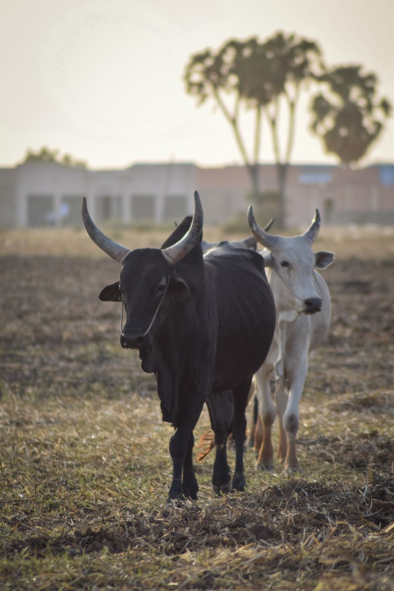
Sits along the Benue River, with the Taraba River flowing north through the LGA to their confluence. Major agricultural hub, the Fulani, Wurkun, and Jukun communities cultivate yam and rear cattle here, and the Dan-Anacha yam market is reputed to be the largest in Taraba State.
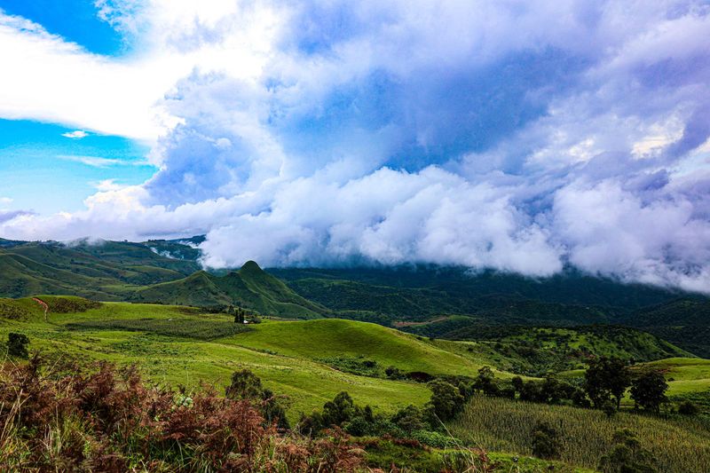
Major ethnic groups include the Chamba, Mambilla, Kaka, and Ndola peoples. The Mambilla Plateau is the centre of Nigeria's highland tea and coffee production.
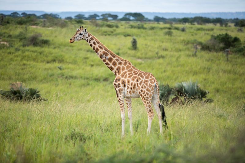
Home to the largest part of Gashaka-Gumti National Park, at 6,731 km², the largest national park in Nigeria, which protects chimpanzees, lions, elephants, hippos, and hundreds of bird species.
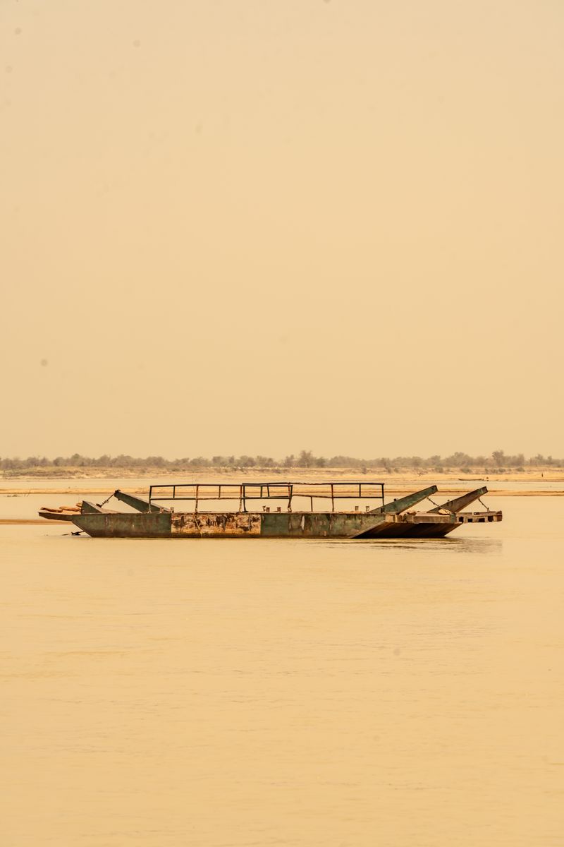
River Taraba flows through Bali LGA, supporting fishing communities and small-scale irrigation farming.
Population data from the 2006 Nigerian National Population Commission census. Area figures from Wikipedia / geospatial data. All Nigerian census data carries acknowledged margin-of-error caveats.
Map
The map below shows the approximate position of Taraba Central Senatorial District within Taraba State, North East Nigeria.
Geography and Economy
Gassol, His Excellency’s home LGA, headquartered in Mutum-Biyu, sits along the Benue River and is the most populous in the district, known for yam and livestock production. Sardauna LGA, headquartered in Gembu, contains the Mambilla Plateau, the highest plateau in Nigeria at approximately 1,830 metres above sea level, and is the center of the country’s highland tea and coffee production.
Bali and Gashaka are among the two largest LGAs by land area in the district. Gashaka is home to most of the Gashaka-Gumti National Park, Nigeria’s largest protected area, covering over 6,700 km². Kurmi LGA is known for its exceptional agricultural fertility, contributing a significant share of Taraba’s food production.
Agriculture is the backbone of the local economy across the Taraba Central Senatorial district, consistent with the wider state, where it employs the majority of the working-age population.
Sources
- Gassol LGA: Wikipedia. en.wikipedia.org/wiki/Gassol
- Sardauna LGA: Wikipedia. en.wikipedia.org/wiki/Sardauna,_Taraba_State
- Gashaka LGA: Wikipedia. en.wikipedia.org/wiki/Gashaka
- Bali LGA: Wikipedia. en.wikipedia.org/wiki/Bali,_Nigeria; Manpower Nigeria LGA profiles. manpower.com.ng/places/lga/766/bali
- Kurmi LGA: Nigerian Finder. nigerianfinder.com/list-of-local-governments-in-taraba-state
- Gashaka-Gumti National Park: Wikipedia. en.wikipedia.org/wiki/Gashaka_Gumti_National_Park; UNESCO Tentative World Heritage List. whc.unesco.org
- Mambilla Plateau: Wikipedia. en.wikipedia.org/wiki/Mambilla_Plateau
- Population figures: 2006 National Population Commission census, as cited in individual Wikipedia LGA articles. All Nigerian census data carries known margin-of-error caveats and figures may differ across sources.
- Taraba Central Senatorial District composition: Wikipedia. en.wikipedia.org/wiki/Taraba_Central_Senatorial_District
- Images: All LGA card photos from Pexels (free to use, no attribution required under the Pexels License).